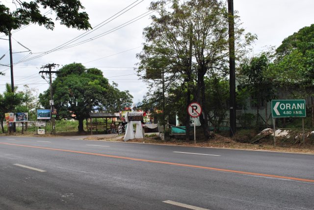
March 29, 2012 @ Mt Natib, Barangay Tala, Orani, Bataan
Mt Pulag is more than twice as high as Mt Natib in Barangay Tala, Orani, Bataan.
Exactly 14 days after Mt Pulag’s “peak bagging”, I was on my way to Bataan and try find out if I can reach the peak of Mt Natib within half day. It started with a simple Personal Message on Facebook with a “friend” who happens to be the Military Commander of the Northern & Central Luzon Areas and then later with telephone calls to two subordinate commanders whose areas are within Bataan and other provinces in Central Luzon. After 12 hours from the time I sent a PM on Facebook, everything was set and I could run and hike up to the peak of the famous Mt Natib the following day.
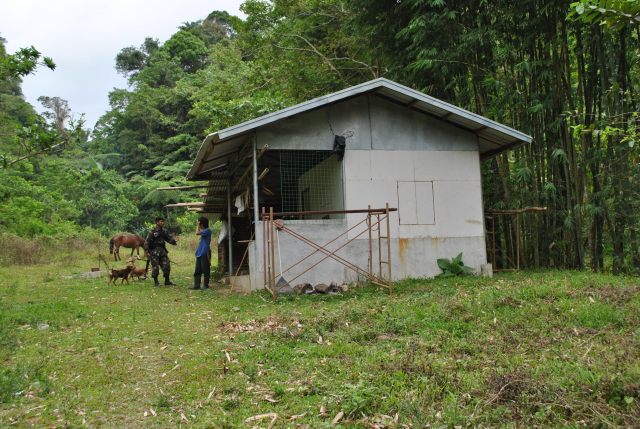
Two days before joining the 1st King of the Mountain Mt Ugo Trail Marathon, I was on my way to Balanga, Bataan to visit the Commander of the 7th CMO (GWAPO) Battalion, Colonel Benny Doniego, who gladly received and escorted me to the 73rd DRC Detachment in Barangay Tala, Orani, Bataan where I would start my run & trek to the peak of Mt Natib. I was surprised that he prepared a breakfast for me and my staff! It was nice to see Col Doniego after I’ve retired from the military service for the past almost 5 years. He happens to have served under me when I was assigned at the 7th Infantry Division in Fort Magsaysay.
Not only did Colonel Doniego prepared a breakfast for me, he even went to the extent of providing me with one officer and one team/squad of soldiers (9 soldiers) as my escorts. His parting words for me was that there will be fresh coconut juice and my favorite dish of “sinampalokang native na manok” waiting for me as soon as I arrive running/trekking from Mt Natib for lunch! Wow! What a nice incentive to finish the activity in a faster mode!
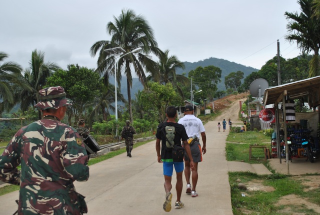
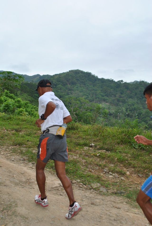
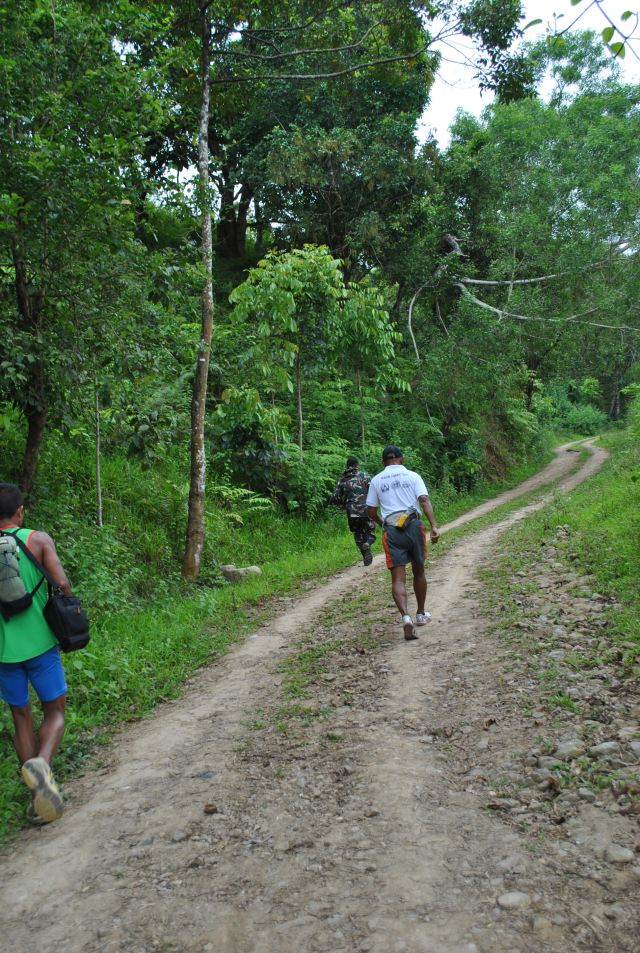
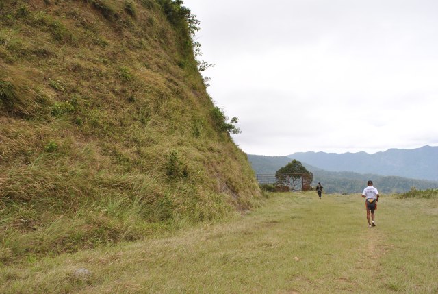
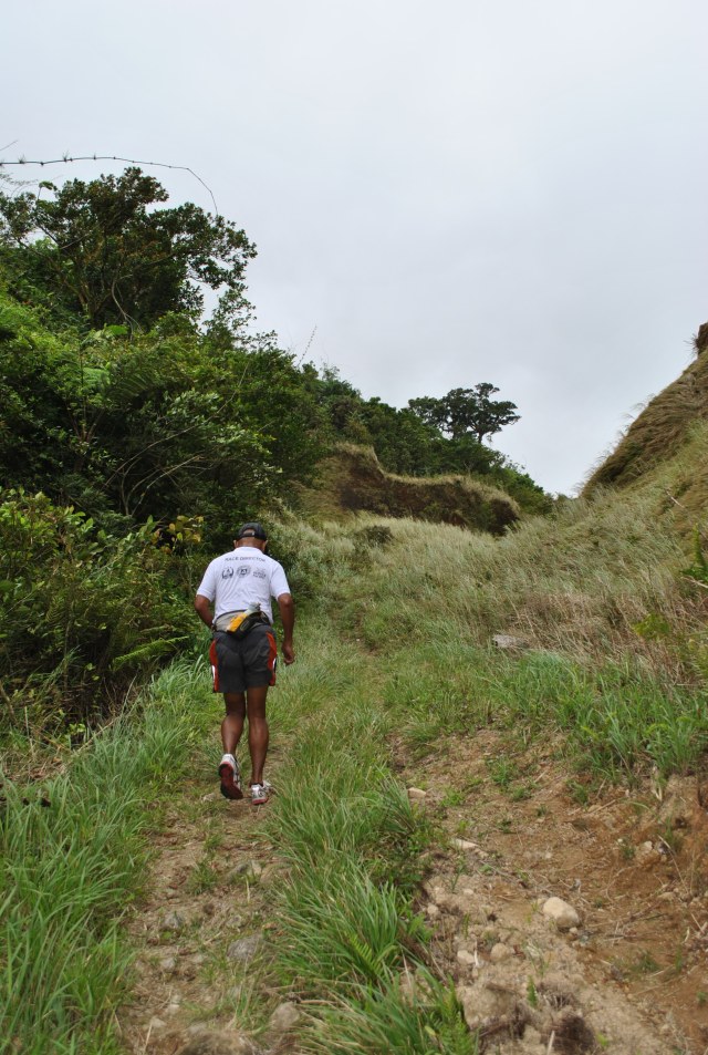
With military escorts infront and on my back, I started my run/hike from the Philippine Army Detachment at 9:30 AM. From the starting point, everything was going uphill until I reached the place which they call “Pinagbutasan” which happens to be a wide man-made “pass” or “breakthrough” on a mountain so that a trail was made on the other side of the mountain. There is a steel gate/fence that protects the unnecessary use of the trail from 4-wheeled vehicles. From this point, you could see the nice vista and mountains/ridges overlooking the towns of Morong and parts of the Subic cove.
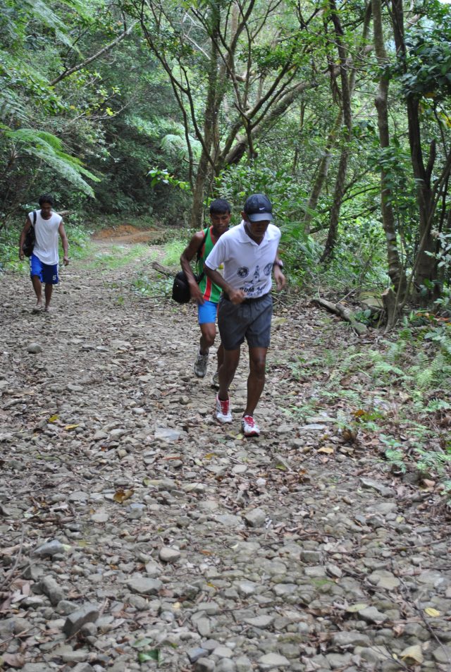
The trail is wide with hardened soil/earth on the first part of the route from “Pinagbutasan” and then it transforms to a trail that has lots of stones and rocks. I was informed that the trail was made/constructed by PNOC on their digging explorations on the said mountain years ago. It is worthy to note that Mt Natib is considered as a dormant volcano and I have the suspicion that PNOC was looking for a geothermal source on the said mountain due to its nature as a volcano. Geothermal is one of the alternative sources of power energy. Unluckily, PNOC was not able to find any geothermal source in the said mountain as evidenced by their exploration diggings covered with concrete cement. You can ask your guide if you are interested to find out where these diggings are located.
On this rocky & stony portion of the trail, it is mostly covered with trees and plants. The terrain is not steep and I was able to jog on most parts of this shaded portion of the trail.
It was cloudy and cold during the day that I had my trek on this mountain and I could hardly see its peak. What went into my mind was to be able to reach its peak, take some pictures, and then descend from the mountain peak for my warm and tasty lunch!
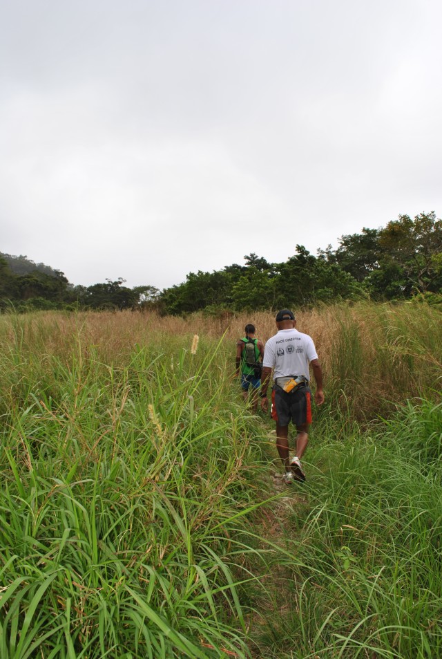
After the shaded portion of the trail, an opening of two small hills beckons with tall grasses with the trail on the middle. I could only see the clouds that cover the mountain and the tall grasses as I proceeded with my power hike. More tall grasses on both sides of the single-track trail and then I was told by our guide to turn left towards a clearing.
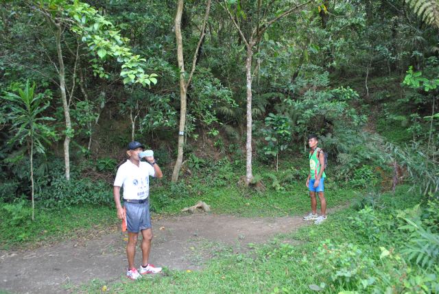
There was a clearing which they call “Area 1”. It is actually a camping site which is good for 3-4 tents and located on the very base of the peak of Mt Natib. There is a number “06” marker on one of the trees around the campsite. This site is the start of the “final assualt” to the peak of the mountain!
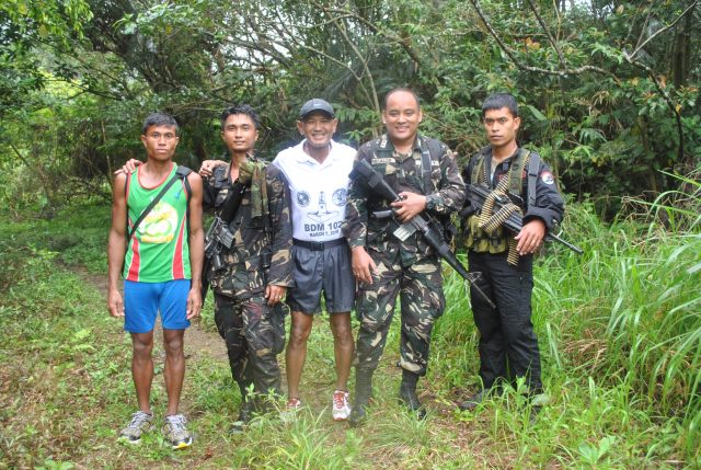
Aside from the soldiers as my escorts, I had with me two of my elite runners who were there as my personal photographer and assistant. We started our final climb towards the peak with me located in between my two runners on single file. The runner in front of me would clear the way for branches and twigs/thorny vines and the other on my back was there to make sure that I will not roll down from the mountain if I tripped or slipped on the rocks. It was raining then and the trail was slippery. It was more slippery on the rocks that we have to use extra effort to push our feet up to the trail.
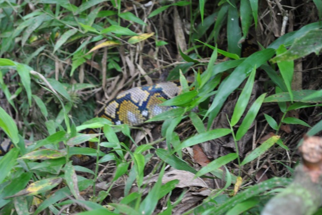
After 50 meters on the trail, the first runner suddenly stopped and started to retrace his footings backwards. He told me that there is a snake infront of us crossing our path. I told him to get nearer to it and find out where the head is located! He hesitated! I was the one that went nearer to the snake and it was really big but we could hardly see its head! I was about to hold its tail and yanked the whole body out of the thick foliage but I thought that it was not my main “mission” to look for snakes. I am not a hunter and I am not looking for food or for a pet! I am after the peak of Mt Natib, stick and stay focus to the very simple mission! In a split of a second, I instructed my runner on my back to give me my camera and I was able to get a close-up picture of its tail portion as the snake went to the thicker foliage part on the side of the trail.
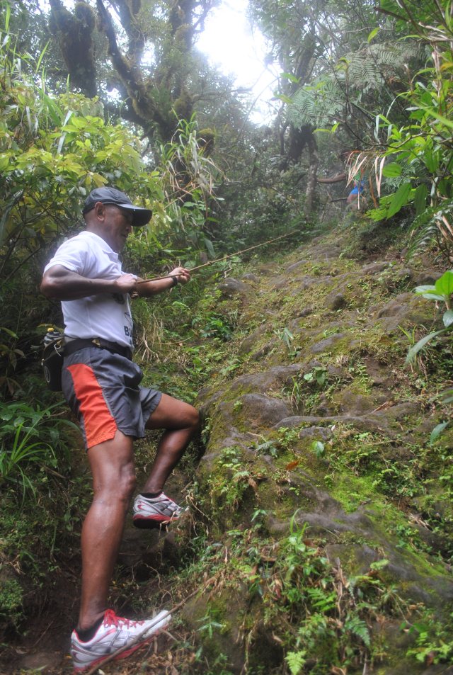
After the snake encounter, we went higher and higher with more caution. Then, we were faced with a “vertical wall” which is about 10 meters! It’s good there is a nylon rope where one could hold for a nice rapelling experience! However, the challenge was for the the foot anchor to be firm on every leg push and strong arms pull on the rope towards the top of the wall so that there would be no slipping or sliding due to the slippery wet rocks brought by the drizzle. Going up on top of the wall was very slow and deliberate. There is no point of making it fast to reach the top of the wall. Patience is needed in this kind of situation.
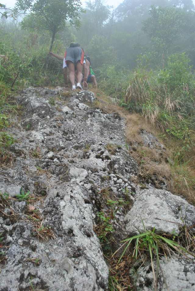
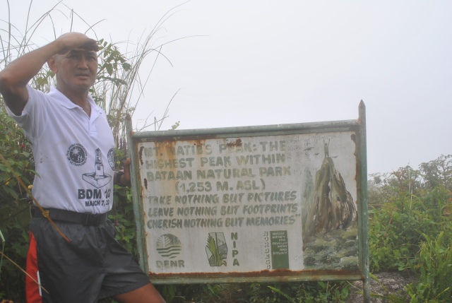
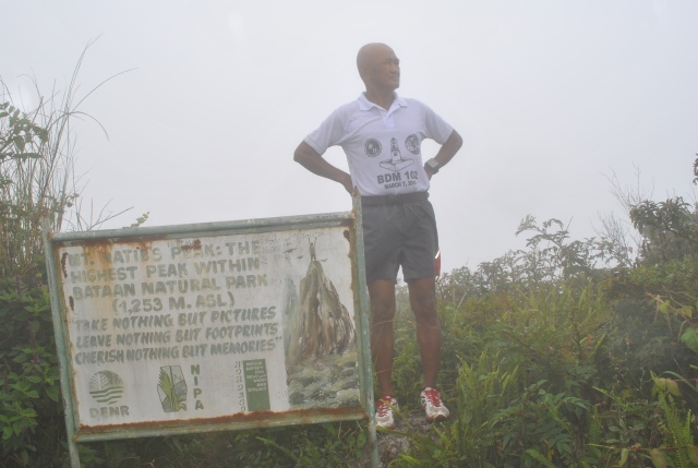
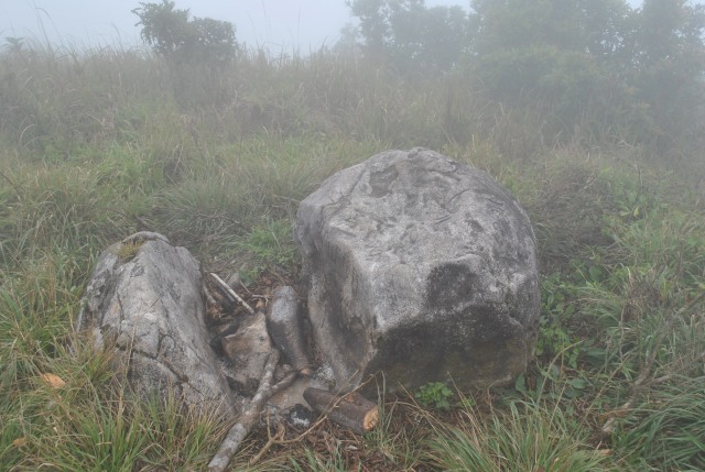
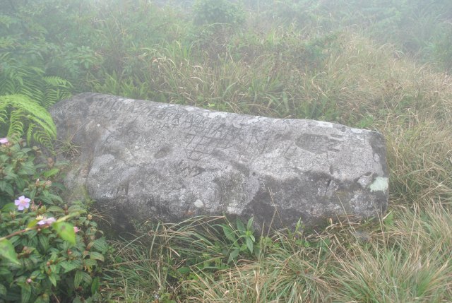
After the first wall, there are rocks as part of the trail that I had to crawl just to be sure that I would not slip. Patience paid off. But there was another mini-wall (about 5 meters) with a rope (again!) to be climbed to its top. After passing this last wall, everything was a smooth uphill and in about 50 meters, I was greeted with the Peak/Summit Marker of Mt Natib! Finally, I was able to “peak bagged” Mt Natib!
Three of us, my two runners and I, were the only one who reached the peak. Our escorts were not able to make it! We spent our almost 20 minutes taking pictures and trying to survey the whole area of the peak. There was no view to be seen from the top of the mountain as it was raining and we were covered with clouds. However, I was able to take note of the trashes being scattered on the different places on top of the mountain. In my estimate, the peak can acommodate at least 8-10 tents (solo or double) and there seems to be no attempt to clean and maintain the area. I said to myself, I will be back to clean the mess here on the peak of Mt Natib in the days to come!
We reached the peak in 3 hours. And we were all in a hurry to go back to where we started at the Philippine Army Detachment. However, we needed more patience and more deliberate footing as we went down the two “walls” and rope rapelling. We spent more time in going down on the “final assualt” portion of the mountain. As soon as we reached “Area 1”, we started to jog and brisked walked. Since we did more on jogging and power walking as almost parts of the trail were descending, we made our way to the detachment in almost 2 hours. My GF 305 recorded an elevation data of 1,296 meters at the peak of Mt Natib!
The trip was concluded with a sumptous late lunch at the Battalion Headquarters with Colonel Doniego and I told him of my plan of going back to the peak of Mt Natib during a day with a nicer weather in the company of my running friends. I also told him of my plan to conduct Operation Linis on the said mountain with an specificied date. It will be April 15, Sunday! His answer was affirmative!
Well, this proves that I am already addicted to “Peak Bagging”!
Next….Mt Ugo…in the 1st King of the Mountain Trail (42K) Marathon…after two days!
Pingback: Little Wonders Series’ Sixth Episode | Stories of My Wandering Feet (& Mind)